Top 10 Ways Sonar Drones Speed Up Water Search and Recovery
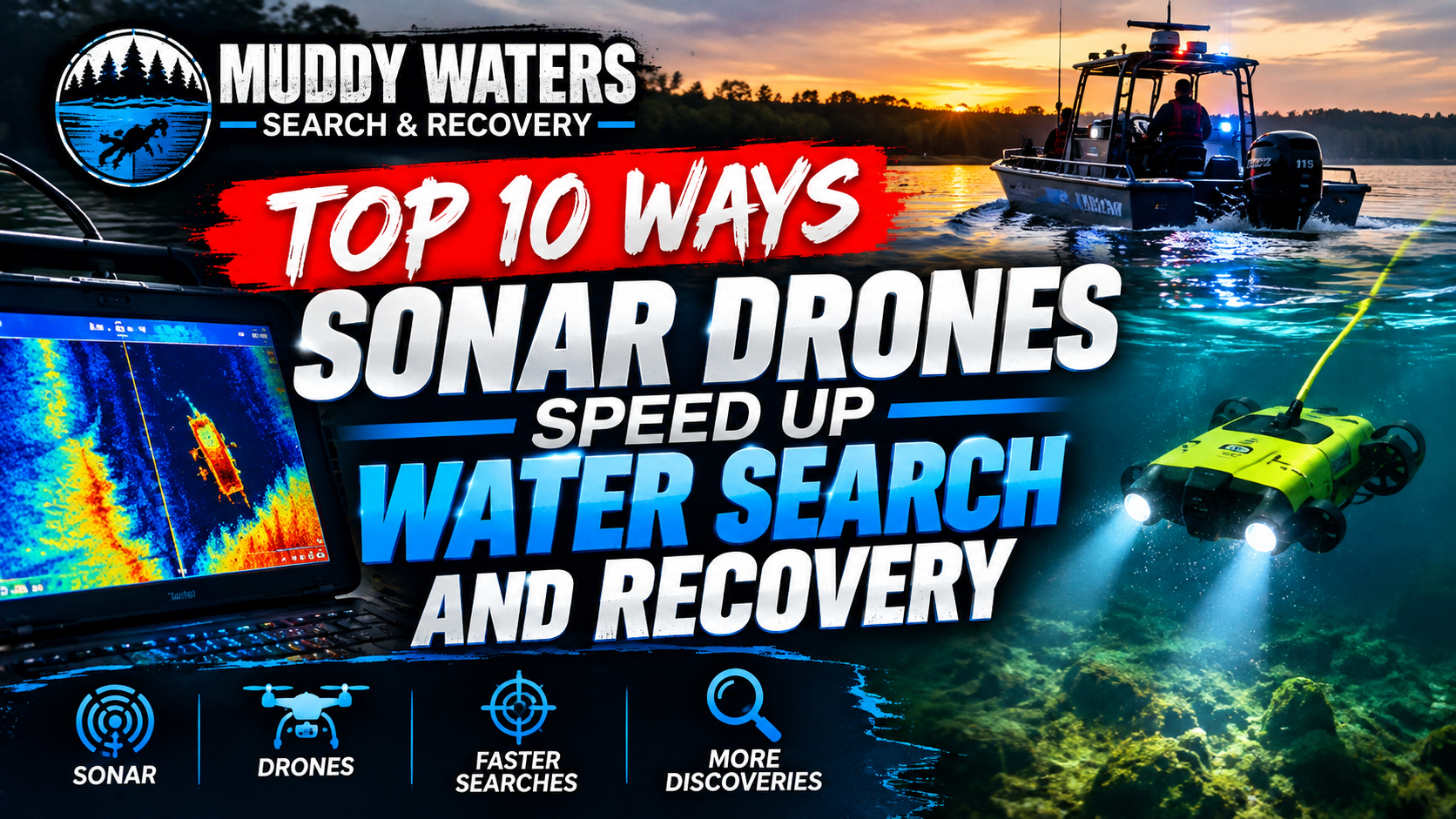
Top 10 Ways Sonar Drones Speed Up Water Search and Recovery
Water searches are some of the most time sensitive, physically demanding, and emotionally difficult operations that public safety teams face. Whether the call involves a missing person, evidence recovery, a vehicle in water, or a post flood hazard check, the clock starts immediately. Conditions rarely cooperate. Visibility is often near zero, currents shift, bottom composition changes across short distances, and hazards like debris, entanglement, and contamination are common.
Sonar drones, which are typically small remotely operated surface craft equipped with high resolution sonar and positioning sensors, have changed how teams approach these missions. They help crews search larger areas faster, reduce the number of risky diver hours, and produce clearer, shareable information for incident command. For many agencies, they also provide a practical way to build a repeatable process, not just a heroic effort.
This guide from DMCB MEDIA breaks down the top 10 ways sonar drones speed up water search and recovery. Each point focuses on what actually saves time in the field, how the capability works, and how to apply it so the time savings translate into real outcomes.
1. Rapid wide area scanning replaces slow, narrow human sweeps
The simplest reason sonar drones speed up operations is coverage. Traditional underwater search methods often rely on divers moving slowly with limited visibility, sweeping by touch or by line. Even when side scan sonar is available from a manned boat, setup time and operator workload can limit how quickly a grid is completed, especially on smaller waterways where launching a larger craft is awkward.
A sonar drone can begin scanning within minutes and cover a large area at a consistent speed. Modern imaging sonar can identify bottom features, anomalies, and target like shapes quickly, and it does not require clear water. Because the sonar beam can see beyond what a diver can reach, the drone can reduce the search space early, which is one of the biggest time multipliers in any incident.
How to turn this into real time savings
- Start with a fast, lower density reconnaissance scan to identify the most promising zones, then run slower, higher overlap passes where needed.
- Use the drone to scan access routes, drop offs, and submerged channels first. These are high probability corridors in many incidents.
- Set a standard initial search box based on last known point, current direction, and time since submersion. Then let sonar findings refine the box.
Where teams lose time
- Running every mission as a maximum detail scan from the start. High detail is useful, but it is slower and may not be necessary until the area is narrowed.
- Ignoring shoreline and shallow transitions. Targets often stop or snag where depth changes, not only in the deepest water.
- Scanning without a plan for immediate follow up. If the team is not prepared to mark and investigate anomalies, the speed advantage can evaporate.
2. Georeferenced sonar maps shrink the problem from water to coordinates
A major bottleneck in water recovery is relocating what you found. Many operations waste precious time because a target was detected, then lost, then detected again. Sonar drones speed things up by tying sonar imagery to GPS coordinates and by recording a track line, so the team can return to the exact spot with a high degree of confidence.
Instead of searching a whole cove again, you can navigate directly to a point, confirm the contact, and plan recovery. Even if GPS precision on the surface is not perfect, a well documented mark with supporting imagery usually reduces reacquisition time dramatically compared to verbal bearings or improvised shoreline references.
Practical mapping tactics
- Drop digital markers on every high interest contact, even if you are not sure yet. You can triage them later.
- Record screenshots or short clips of the contact with range, heading, and scale visible, so another operator can interpret it quickly.
- Run at least one cross line pass over a promising contact. Two angles help confirm shape and reduce false positives.
Why this speeds up recovery, not just search
Recovery requires precise positioning. Dive teams, grappling crews, and evidence technicians all need a location they can trust. A georeferenced sonar mark becomes a shared reference that lets every unit move faster, coordinate better, and spend less time debating where to deploy.
3. Early risk reduction keeps divers fresh and available for the final phase
Putting divers in the water too early is a common way to slow down the overall operation. It may feel like progress, but it can drain the team, consume air and safety resources, and increase the chance of an incident. Sonar drones speed up outcomes by allowing a safer, information driven progression: search broadly from the surface, confirm likely targets, then deploy divers for a focused task.
When divers do enter the water after sonar work, they often enter with a precise objective, such as confirm this contact, attach a line to this vehicle, recover this item at these coordinates. That shift reduces the amount of blind searching underwater, which is where time and risk compound.
Time savings that come from safety
- Fewer diver rotations, because the work is targeted and less exhausting.
- Less downtime for warming, decontamination, and medical checks when unnecessary dives are avoided.
- Lower likelihood of entanglement incidents that halt operations and trigger rescue protocols.
Command level tip
Build a default policy that divers are deployed after sonar reconnaissance when conditions are low visibility, contaminated, swift, or cluttered. Exceptions can exist, but making sonar the standard first step often increases speed across a full year of calls, not just a single event.
4. Consistent search patterns and automation reduce human variability
Water search is vulnerable to inconsistency. Different operators steer differently, overlap lines unevenly, or drift off course due to wind and current. Sonar drones speed up missions by supporting repeatable patterns, including lawnmower grids, expanding squares, and contour following. Many systems also help maintain a straight line and consistent spacing.
This matters because inconsistent coverage creates uncertainty. If you cannot trust that an area was fully scanned, you may have to rescan it, which is one of the biggest time sinks. Reliable patterns provide confidence that a negative result is meaningful, and they make it easier to brief new personnel coming on shift.
Workflow that prevents rework
- Define standard line spacing based on sonar range and expected target size. Write it down as a quick reference.
- Start with shoreline parallel lines when searching for items that drift and settle near edges, then switch to cross lines to verify.
- Log which pattern was used, the line spacing, and the sonar settings. This makes the coverage defensible and repeatable.
Common pattern mistakes
- Spacing lines based on what feels right instead of the sonar range actually used. If you change range, adjust spacing.
- Skipping overlap. A modest overlap can prevent gaps caused by turn errors and drift.
- Turning too tightly at the end of lines. Wide turns can be faster overall because they preserve stable sonar returns and reduce steering corrections.
5. Real time interpretation and rapid triage separate targets from clutter fast
In many bodies of water, the bottom is full of objects. Logs, tires, rocks, scrap metal, and old infrastructure can produce false alarms. Without sonar, divers may spend long periods investigating random debris. With sonar drones, teams can triage contacts quickly by looking at shape, shadow, size, and context. This does not guarantee perfect identification, but it dramatically reduces the number of time consuming dead ends.
Some sonar modes highlight details that are especially helpful for triage. Side imaging can reveal shadows that suggest height off the bottom. Down imaging can show whether an object is sitting proud, partially buried, or suspended. In clearer interpretations, vehicles often look like vehicles, and smaller evidence items can stand out when the settings are tuned correctly.
Fast triage checklist
- Does the contact have a distinct shadow consistent with an object above the bottom, or is it flat texture?
- Is the size consistent with the missing subject or item, based on range scale?
- Does the contact remain stable from multiple passes, or does it disappear when viewed from a different direction?
- Is it located in a plausible deposition area, such as an eddy, drop off, or snag zone?
Settings that often improve triage speed
- Use a shorter range when you need detail. Long range can hide small clues.
- Adjust gain and contrast so the bottom is readable but not washed out.
- Slow down slightly when approaching a suspected target to reduce motion blur and improve interpretation.
6. Sonar works when cameras and divers cannot, keeping the search moving in low visibility
Water visibility can drop to inches due to silt, algae, tannins, runoff, or stirred sediment from boats and wind. In those conditions, underwater cameras become nearly useless, and divers are forced into slow tactile searching. Sonar drones avoid that bottleneck because sonar does not depend on light. That means the search pace stays closer to normal even when the water is dark or muddy.
This capability is not only about poor water clarity. It is also about night operations, deep water, heavy surface glare, and complex underwater terrain. Sonar can provide usable information across all of these challenges, which reduces the number of pauses, resets, and equipment changes that slow a mission.
How to keep momentum in the worst conditions
- Minimize prop wash and wake near shallow areas to avoid stirring the bottom. Smooth driving improves sonar returns too.
- Plan passes with current and wind in mind to maintain stable headings, which produces clearer images and fewer repeat runs.
- If the water is full of suspended particles, use sonar to define a target box, then use touch and tether methods only inside that box.
What sonar cannot fix
Dense vegetation can obscure objects, steep banks can create blind zones, and some targets can blend into the bottom if they are buried. The speed advantage comes from knowing these limitations early. When vegetation is a factor, teams can adjust by running tighter spacing, scanning from multiple angles, or switching to recovery tactics that account for weeds.
7. Faster mobilization and simpler logistics reduce time to first scan
A lot of search time is lost before anyone starts searching. Launching a manned boat, coordinating a trailer, and setting up large sonar gear can take time, especially if the incident occurs at an access poor location. Sonar drones are typically compact, lightweight, and quick to deploy. That reduces the time to first scan, which is often the most valuable time window, particularly when survivability is in question or when evidence may drift.
Even in recovery only situations, faster mobilization matters because it shortens overall scene duration, reduces overtime, and lets the agency return resources to service sooner. The drone can also be deployed from shore where a boat launch is not available, including canals, retention ponds, and small river sections.
Logistics advantages that translate into speed
- Fewer personnel needed to begin searching, which is crucial during off hours.
- Less dependency on ramps, docks, and tow vehicles.
- Quicker relocation to a second search area if leads change, because pack up and relaunch are fast.
Preparation tips that compound the advantage
- Store batteries at proper charge levels and rotate them on a written schedule.
- Maintain a go kit with spares, props, charging cables, and printed quick start steps.
- Train multiple operators across shifts. Speed drops when only one expert can run the system.
8. Better coordination with incident command through shareable, explainable visuals
Search operations often slow down due to communication friction. Field teams see one thing, command hears another, and decisions take longer because the information is hard to validate. Sonar drones speed up coordination by producing visuals that can be shared quickly. A sonar screenshot with a marked location is more actionable than a verbal description like, it is somewhere off that tree line.
These visuals help in several ways. They support faster decision making about where to focus divers. They provide clearer briefings to incoming teams. They also help external partners, such as fire, law enforcement, medical examiner staff, or volunteer search units, understand the plan and stay aligned.
Ways to use visuals to reduce delays
- Use a standard naming scheme for marks, such as A1, A2, then tie them to a short description.
- Send a simple contact report to command: mark name, coordinates, estimated size, depth, confidence level, and recommended next action.
- If allowed by policy, display the drone feed on a larger screen so stakeholders see what the operator sees.
Defensible decision making
Water recoveries can involve sensitive outcomes and later review. Recorded sonar tracks and marked contacts help document that the search was systematic. That can reduce second guessing on scene and speed up approvals for the next step, such as expanding the search area or reallocating resources.
9. Faster and more precise recovery planning reduces time spent probing and guessing
Finding an object is not the same as recovering it. Recovery is where operations often bog down, especially when teams attempt to hook or lift blindly. Sonar drones speed up recovery by giving crews the information needed to choose the best method and approach angle. Depth, bottom slope, obstacles, and the object’s orientation can all influence whether a recovery attempt is quick or turns into hours of trial and error.
For example, if sonar suggests a vehicle is resting on its side near a steep drop, the team can plan attachment points, decide whether to use divers or a remote hook, and position tow equipment appropriately. If the sonar shows a small item in a flat silt area, the team can set a tight search box and use careful hand searching to avoid stirring the bottom.
Recovery planning questions sonar can help answer
- What is the likely orientation of the target, and is it partially buried?
- Are there nearby hazards like cables, brush, or debris fields that will slow divers?
- What approach path avoids running lines across snags?
- Where should surface support anchor or hold position to keep tethers vertical and controlled?
Speed tip for diver deployments
Use the sonar mark as the center of a small, measured box. Then deploy divers with a pre planned pattern for that box, such as a short jackstay. This is faster than letting the diver improvise and then asking for repeated position adjustments from the surface.
10. Post mission data capture improves future response times, not just today’s outcome
Sonar drones do more than accelerate a single mission. They create data that can improve the next one. Saved tracks, annotated maps, and mission notes help teams learn the specific behavior of local waterways. Over time, this reduces time spent relearning the same bottom features and helps operators distinguish normal clutter from unusual contacts.
This is especially useful in locations with repeat calls, such as popular swimming areas, bridges, boat ramps, flood control channels, and parks. If your team already has a baseline map of a pond, you can notice changes quickly and focus on what is new. That can make the difference between a short operation and a long, exhausting one.
What to save after every mission
- Track logs and coverage maps showing where you scanned and at what settings.
- All marked contacts, including those that were ruled out, with notes explaining why.
- Environmental notes: water level, current, wind, temperature, and visibility.
- Time stamps: time to deploy, time to first contact, time to confirm, time to recover.
How this speeds up training and proficiency
New operators improve faster when they can review real missions. Teams can build a library of examples: vehicles, rocks that look like vehicles, logs that look like bodies, and other common misreads. That reduces hesitation and improves confidence, which translates into quicker decisions under pressure.
Putting the Top 10 into a simple, fast operational workflow
Speed is not only about equipment. It is about process. Sonar drones produce the best time savings when agencies build a consistent flow from dispatch to recovery. A practical template looks like this:
- Establish last known point and likely drift or travel path based on currents, witness statements, and terrain.
- Launch sonar drone for a fast reconnaissance scan to identify high probability zones.
- Mark all anomalies, then run cross lines on the top candidates.
- Brief command with coordinates, confidence level, and recommended next step.
- Deploy divers or recovery tools only when the target box is small and specific.
- Recover, document, and then run a quick confirmation scan to ensure nothing else relevant remains.
- Save logs and notes for future calls and training.
Key metrics that prove the speed advantage to stakeholders
If you need to justify investment or demonstrate effectiveness, track a few simple numbers over time. They make the benefits measurable and easier to communicate to leadership, budget committees, and partner agencies.
- Time from arrival to first scan.
- Area scanned per hour in typical conditions.
- Number of diver hours per incident before and after adopting sonar drone first search.
- Percentage of incidents where the target is located by sonar before any diver entry.
- Total scene time from arrival to demobilization.
Common misconceptions that can slow teams down
Even great tools can create delays if expectations are wrong. A few misconceptions show up repeatedly:
- Misconception: sonar will identify everything instantly. Reality: it finds anomalies quickly, but confirmation still matters.
- Misconception: faster driving always means faster search. Reality: too fast can degrade sonar clarity and cause rescans.
- Misconception: one pass is enough. Reality: multiple angles reduce false positives and prevent wasted recovery attempts.
- Misconception: only the best operator can run it. Reality: cross training is what keeps speed high across shifts.
Conclusion
Sonar drones speed up water search and recovery by attacking the biggest time drains: uncertainty, poor visibility, inconsistent coverage, slow mapping, and risky early diver deployment. The top 10 advantages are not abstract features. They are practical levers that reduce search area, shorten decision cycles, and make recovery more precise.
When teams pair sonar drones with clear patterns, solid documentation, and a disciplined progression from reconnaissance to confirmation to recovery, they do not just work faster. They work smarter, safer, and with results that are easier to explain and defend. For agencies building or upgrading their water search capability, these advantages can translate into fewer hours on scene and better outcomes for everyone involved.
About this guide
Published for operational readers by DMCB MEDIA, with a focus on field ready guidance for public safety and professional recovery teams.